The Explorer
Christian Holst is an expert in georadar projects at DMT Engineering Surveying. This can also occasionally include helping in the search for hidden tombs or supporting criminal investigation departments in tricky murder investigations.
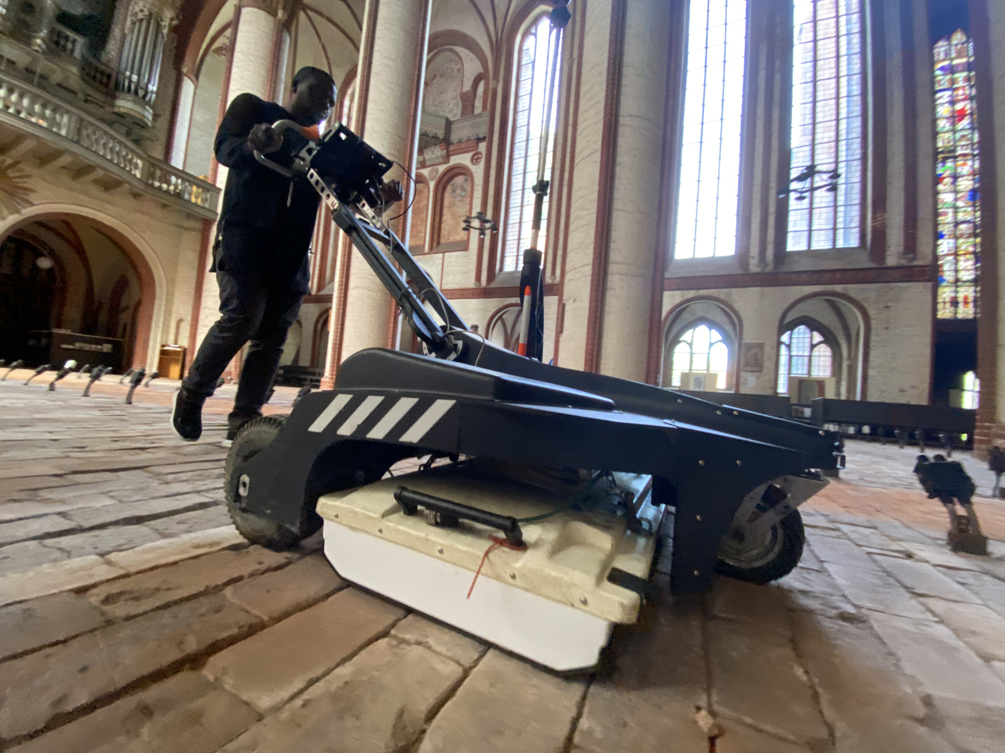
When Christian Holst is out and about with his georadar, it usually doesn’t take long for the first curious passers-by to approach him. “Most of them are interested and also very nice, but I’ve also had people grumble at me,” says the 45-year-old. When Google started sending around its camera car for its map services, it often incurred people’s displeasure. Christian Holst will then patiently explain what exactly this odd-looking lawnmower with a laptop on it, which he sometimes pushes around in front of him or tows behind him on a quad, is for. He will explain that a georadar is a geophysical method of studying subsurfaces. That it sends high-frequency electromagnetic waves into the ground and records the reflected signals. And that materials with different properties, such as rocks, water, metal or cavities, are reflected differently and produce different reflection patterns.
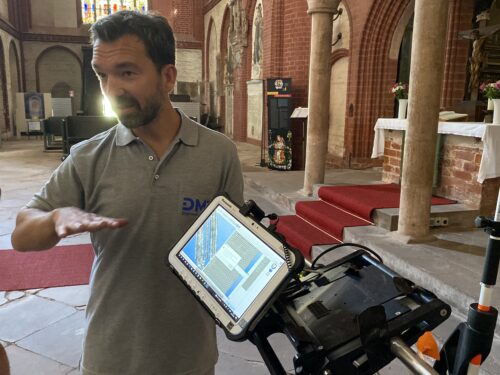
When Google started sending around its camera car for its map services, it often incurred people’s displeasure. Christian Holst will then patiently explain what exactly this odd-looking lawnmower with a laptop on it, which he sometimes pushes around in front of him or tows behind him on a quad, is for.
To interpret these coloured patterns correctly, experts like Holst need a lot of experience. He has been with DMT for 15 years, having started there during his geophysics studies in Hamburg and having also written his degree thesis while at the company. Today, a classic assignment looks like this: When utility companies want to lay new cables or pipes, Holst’s team uses the georadar to check whether and where there is still space for them underground. But alongside pipeline or cable route planning, his expertise is also in demand for those assignments whose aim is to elicit secrets from below the ground.
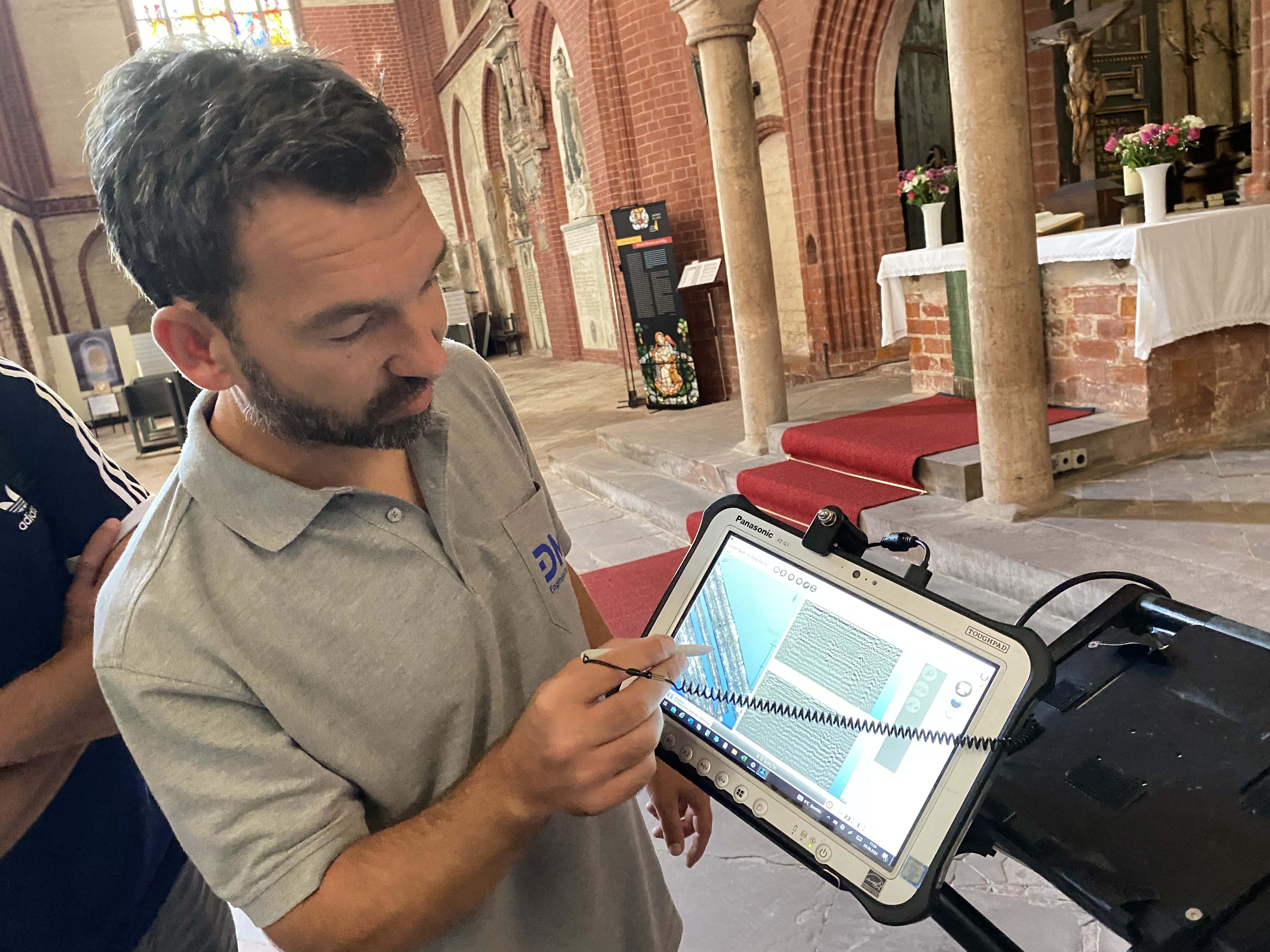
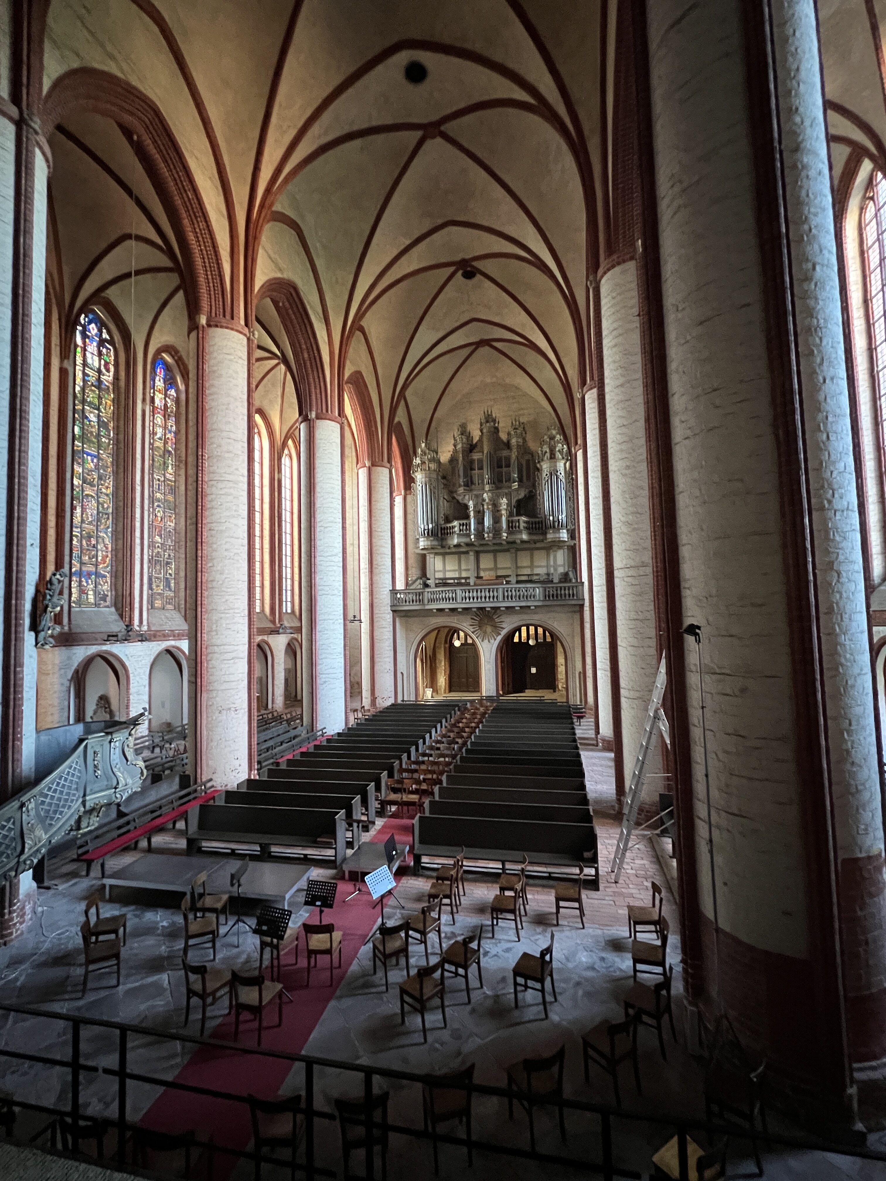
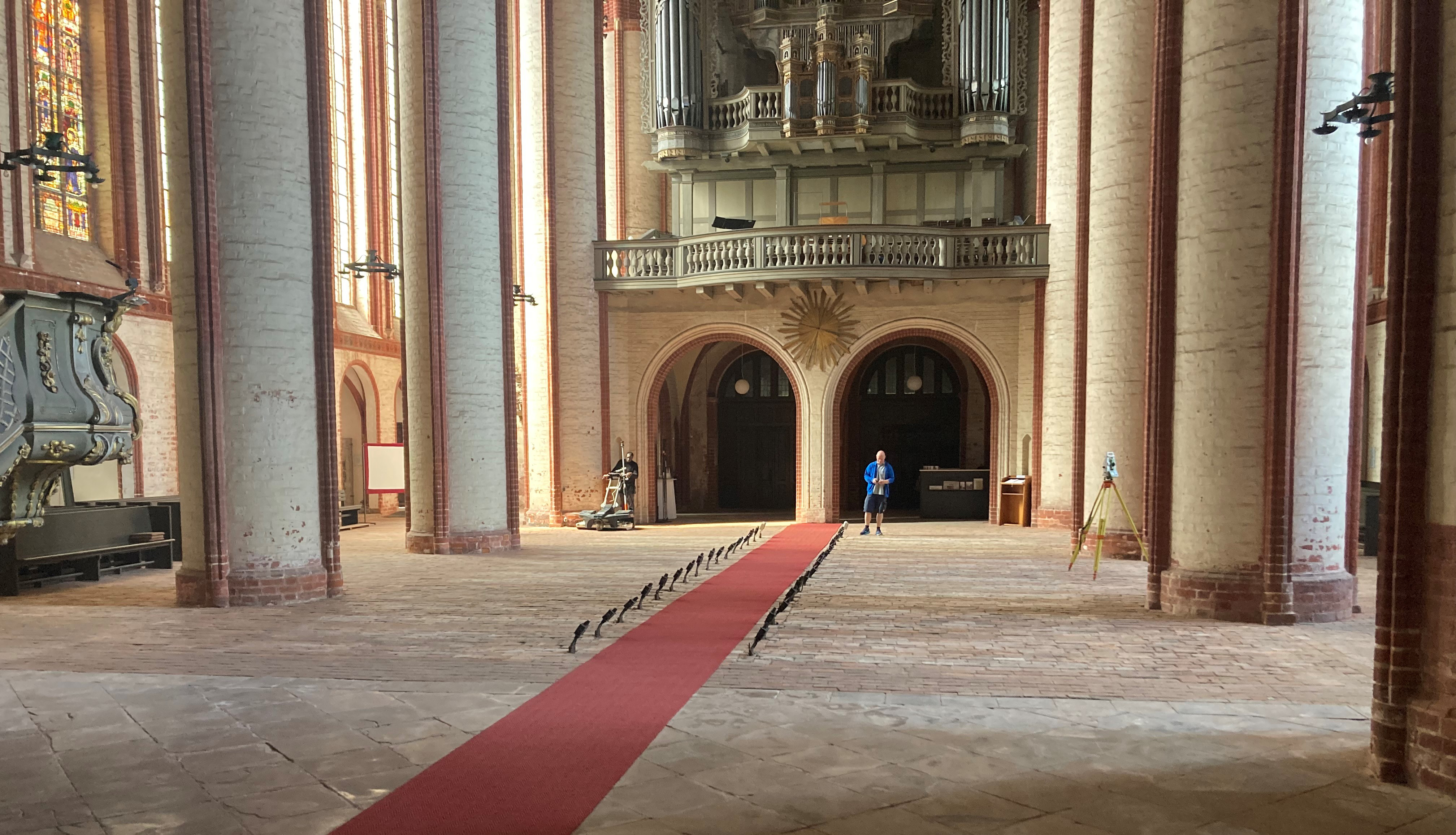
It’s not unusual for unexpected things to crop up. For example, his initial task in Stendal Cathedral as part of a geophysical subsoil investigation was to uncover possible cavities that might endanger the stability of the scaffolding needed for the renovation of the cathedral. “It was only in conversation with the pastor that I found out that the grave of the cathedral’s founder, Heinrich von Gardelegen, was supposed to be located under the cathedral, but no one knew exactly where,” says Holst. “Of course, that makes the whole thing even more exciting.” And it is a little reminiscent of Indiana Jones or the adventures of Professor Robert Langdon in Dan Brown’s global bestsellers when Christian Holst manages to track down hidden secrets buried in the historical foundations. To accommodate the process of taking measurements over an area of 1,400 square metres, the pews were removed from the cathedral so that Holst’s measurement team could drive their georadar car freely around the building.
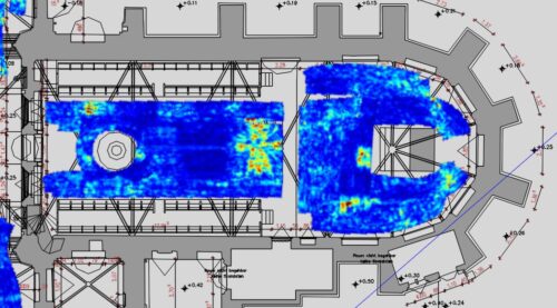
Floor plan Stendaler Dom
A georadar measurement (also known as ground penetrating radar or georadar tomography) uses electromagnetic waves to visualise structures and anomalies in the subsurface. The colour coding on the image gives indications of different material densities or underground structures.
- Blue areas probably indicate homogeneous materials without major anomalies.
- Yellow and red areas could indicate anomalies, such as cavities, transitions between strata, pipes or previously undetected archaeological structures.
In this case, the red and yellow areas in the crypt could point to cavities, burial sites or other interesting structures that lie below the surface. The method is often used in archaeology to explore underground conditions without having to damage the masonry or the floor.
The georadar’s ability to get sub-surfaces to surrender their secrets has also led Christian Holst several times into the middle of ongoing murder investigations. As macabre as it sounds, the georadar can also be used to locate corpses or objects buried in concrete or interred under the ground. Holst remembers a morning spent in a northern German police station where photos and documents related to a murder case were pinned to a bulletin board. “It was like being in a TV crime drama, and they really weren’t pretty pictures.” The case was that of a murdered woman whose body had been discovered in the River Weser. Holst had been asked for help by the police. He used the georadar to search for buried evidence on the property of several suspects. “Four years ago, we were asked by the Hamburg State Criminal Police Office to investigate a cold case,” says Holst. The case in question was a murder investigation from 40 years ago. “We looked for hidden evidence in a warehouse and in a basement room but found nothing.” In another case, Holst and his colleagues from DMT-ES searched an allotment plot on behalf of CID and did actually find something underground. Although the dogs trained to sniff out bodies did not hit the jackpot, the police arranged for the area to be dug up anyway. “It was very exciting, with everyone standing around the hole on tenterhooks,” Holst recalls. In the end, however, nothing was found except buried rubbish.
Four years ago, we were asked by the Hamburg State Criminal Police Office to investigate a cold case. The case in question was a murder investigation from 40 years ago. We looked for hidden evidence in a warehouse and in a basement room but found nothing.
“It’s this kind of diversity that makes my job so exciting,” says Holst, who in his spare time very successfully coaches a female C-youth handball team that has just been promoted to the top German league, the Oberliga. Through his work as a geophysicist at DMT-ES, he gets to know a lot of people he would otherwise never meet. He gets to see areas that would otherwise remain closed to him, such as the interior of a naval base, for example. And he has interesting conversations that he would not otherwise be able to have. For example, he once got into conversation with a police officer when he was taking measurements in a federal police station. “It was at the time when Castor trains full of radioactive waste were going to Gorleben, sparking massive protests,” Holst recalls. The policeman described and shown him how cleverly the protestors had been chaining themselves to the rails with sophisticated mechanisms to make it as difficult as possible for the police to remove them.
The extraordinary georadar project in St. Nicholas’ Cathedral in Stendal has now been completed – and the DMT expert has indeed discovered some structures underground at a depth of half a metre that might be the tomb of the cathedral’s founder. “The vault may be located in the cathedral’s high choir,” says Holst. At least that’s what the expert gleaned from the structures that the georadar sent to his laptop. It’s still unclear whether the church will now initiate the excavation to establish beyond doubt whether the cavity that has been detected actually is the burial vault it is looking for. But, if nothing else, it has become clear that no scaffolding should be erected there.